
I have hiked the Eiger Trail twice. The first time, I stopped at Alpiglen and took the train back to Grindelwald. The second time, I continued all the way down. Having experienced both versions, I would choose the full route again. The classic section from Eigergletscher to Alpiglen brings you close to the Eiger North […]
In this guide
I have hiked the Eiger Trail twice. The first time, I stopped at Alpiglen and took the train back to Grindelwald. The second time, I continued all the way down.
Having experienced both versions, I would choose the full route again.
The classic section from Eigergletscher to Alpiglen brings you close to the Eiger North Face and offers the most dramatic mountain scenery. Continuing to Grindelwald adds another six kilometres through greener meadows and forest, with the village slowly getting closer below you.
The full hike is approximately 12 kilometres and took us just over four hours. It is not technically difficult in warm, dry summer conditions, but the long descent is tiring for your legs and knees. There is also a short uphill section near the beginning that requires more effort than you might expect from a mostly downhill hike.
If you want a shorter experience, ending at Alpiglen is a perfectly good option. If you have the time and your knees are comfortable with a long descent, however, I recommend continuing to Grindelwald.

Eiger Trail: quick facts
| Item | Information |
|---|---|
| Starting point | Eigergletscher station |
| Short route | Eigergletscher to Alpiglen |
| Full route | Eigergletscher to Grindelwald |
| Full distance | Approximately 12 km |
| Hiking time | Around 4–5 hours |
| Difficulty | Moderate |
| Technical difficulty | Low in dry summer conditions |
| Main challenge | Long descent on the legs and knees |
| Best season | Summer to early autumn, when the trail is open |
| My visit | August, in warm and dry conditions |
| Recommended route | Continue beyond Alpiglen to Grindelwald |
Allow additional time for photography, breaks and transport. We stopped at Alpiglen to eat and rest before completing the second half.
My recommended Eiger Trail route
My preferred route is:
- Travel to Grindelwald Terminal.
- Take the Eiger Express to Eigergletscher.
- Follow the Eiger Trail towards Alpiglen.
- Stop at Alpiglen for a break.
- Continue downhill to Grindelwald.
This gives you the famous Eiger Trail experience as well as a longer descent through the changing landscape below Alpiglen.
The first time I hiked here, Alpiglen was our finish. When I returned, it became the halfway point. That second experience felt much more complete: instead of ending while still high above the valley, we watched Grindelwald gradually come closer until we finally walked back into the village.
Planning your stay: The Eiger Trail is one of my recommended day trips from Interlaken. Use my How Many Days in Interlaken guide to fit it into a two, three or four-day itinerary.
How to reach the Eiger Trail from Interlaken
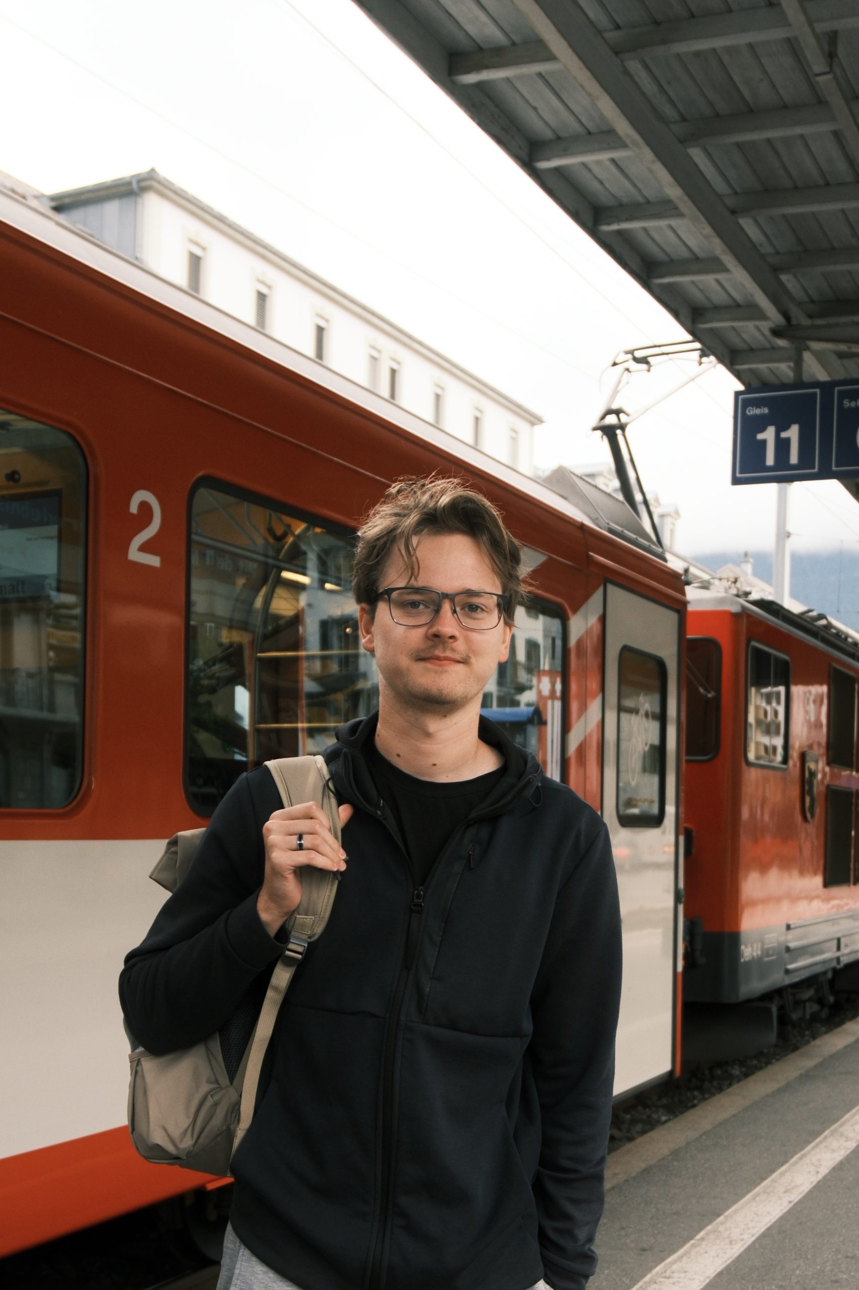
We took an early train from Bern to Interlaken Ost and continued towards Grindelwald Terminal. From there, the Eiger Express carried us up to Eigergletscher, where the hike begins.
If you are staying in Interlaken, the journey is straightforward:
- Take the train from Interlaken Ost to Grindelwald Terminal.
- Change to the Eiger Express.
- Travel by gondola to Eigergletscher.
- Follow the signs for the Eiger Trail and Alpiglen.
Starting early is worthwhile. It gives you more time on the mountain, cooler walking conditions and better flexibility if the hike takes longer than expected.
My Interlaken travel guide includes this hike among the best mountain experiences you can reach from town.
Always check the current trail status and Eiger Express operating times before leaving. Snow, maintenance or poor weather can affect access outside the main hiking season.

What is the Eiger Trail like?
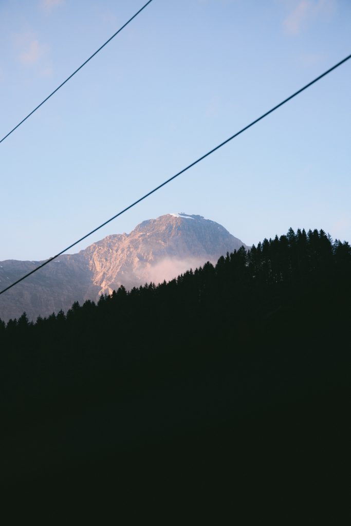
The landscape changes noticeably as you descend from Eigergletscher to Grindelwald.
Near the top, the scenery is open, rocky and dominated by the Eiger. The path then passes alpine meadows before becoming greener around and below Alpiglen. During the final section, you encounter more trees, plants and signs that you are returning to the valley.
The route can be divided into three distinct parts.
1. Eigergletscher and the initial climb
Do not expect the entire route to go downhill from the first step.
Shortly after starting, there is an uphill section that felt like the most demanding part for our fitness. It is manageable, but it can catch you by surprise when you have prepared yourself for a descent.
Once you complete that section, the route becomes more consistently downhill.
The scenery here is dramatic. You are hiking directly beneath the Eiger, surrounded by rock, glacier views and wide mountain landscapes. When we started early, the sun had not yet reached every part of the trail. That created soft colours across the mountains, although some areas were still dark for photography.
2. Eigergletscher to Alpiglen
This is the best-known section of the Eiger Trail.
The trail crosses open mountainside beneath the Eiger North Face. In the dry August conditions I experienced, the ground felt stable, although there were loose stones on the higher sections. Proper footwear with good grip is therefore still important.
This section offers the most impressive high-alpine scenery of the day. The scale of the Eiger becomes much clearer when you walk beneath it rather than viewing it from Grindelwald.
We also passed sheep grazing above the valley. At one point, my sister followed another couple slightly away from the path to see them more closely. They made for one of my favourite photographs from the trip—but staying on the marked trail is the sensible choice.
Near Alpiglen, I slipped and injured my leg. It was not serious enough to stop, but it was a reminder that even a non-technical trail requires attention. Loose stones and tired legs can be a bad combination, particularly during a descent.
3. Alpiglen to Grindelwald
Alpiglen has a railway station and a restaurant, making it the natural decision point.
If you have had enough, you can finish here and take the train to Grindelwald. This shorter route still includes the most dramatic section of the Eiger Trail.
We stopped to eat, rest and use the facilities. The previous year, Alpiglen had been our destination. This time, we still had approximately six kilometres ahead of us.
Below Alpiglen, the landscape becomes softer and greener. The rocky high-mountain scenery gives way to meadows, trees and farmland. You lose some of the drama of the Eiger North Face, but gain the satisfying feeling of walking all the way into the valley.
The final kilometres felt long. Our legs were tired, and Grindelwald appeared close before we had actually reached it. We passed cows, found a freshwater tap and even encountered a black cat—something that felt surprisingly unusual after several summer trips through Switzerland.
Crossing the final bridge and feeling the cooler air above the river was a welcome moment. After more than four hours of hiking, we arrived in Grindelwald warm, sweaty and tired, but happy that we had continued beyond Alpiglen.
Should you finish at Alpiglen or Grindelwald?
Both routes are worthwhile, but they suit different hikers.
| Finish at Alpiglen | Continue to Grindelwald |
|---|---|
| Best for a shorter hike | Best for a complete day hike |
| Includes the most dramatic Eiger scenery | Shows how the landscape changes toward the valley |
| Less demanding on the knees | Adds approximately 6 km of descending |
| Easy return by train | No train needed after Alpiglen |
| Better if time or weather is limited | Better if you enjoy longer walks |
I would personally continue to Grindelwald.
The second half is not as dramatic as the trail directly below the Eiger, but it makes the route feel complete. Walking into the village also gives you a stronger sense of the distance and elevation you have covered.
However, there is no shame in stopping at Alpiglen. If your knees already hurt, the weather changes or you are running behind schedule, taking the train is the sensible decision.
How difficult is the Eiger Trail?
The full Eiger Trail to Grindelwald is a moderate hike.
It is not technically difficult in stable, dry summer conditions. There are no climbing sections, and you do not need specialist mountaineering experience. The main challenge is the combination of distance and sustained descent.
The short climb near the beginning is the most demanding section for your cardiovascular fitness. After that, the strain moves to your legs and knees as you continue downhill.
The higher trail also contains loose stones. I found the ground stable during my August hike, but you still need to watch where you place your feet.
Conditions can change the difficulty considerably. Rain makes rocks and paths more slippery, while snow can make the upper route unsuitable without the appropriate experience and equipment. The assessment in this guide is based on warm, dry August weather.
Is the Eiger Trail suitable for beginners?
The shorter hike to Alpiglen can be suitable for active beginners in good conditions.
The complete route to Grindelwald requires more consideration. A beginner with reasonable fitness can complete it, but should be comfortable walking for four to five hours and descending for most of the day.
I would not recommend making the full route your first-ever mountain walk if you are unsure about your knees, balance or endurance. Start early and treat Alpiglen as a decision point. You can continue if you feel good or take the train if the first section was enough.
That flexibility is one of the route’s biggest advantages.
Is the Eiger Trail hard on your knees?
Yes, the full route can be hard on your knees and legs.
Descending may feel easier than climbing at first, but several hours of walking downhill creates repeated impact. We particularly noticed this during the second half, when the dramatic scenery was behind us and fatigue started to build.
Take controlled steps and do not rush the rocky sections. Short breaks also help, especially at Alpiglen.
Hiking poles are optional. I did not consider them essential in the dry conditions we experienced, but they may help if you already know that long descents bother your knees. This is something you should judge based on your own comfort and experience.
What shoes do you need?
Wear hiking shoes with sufficient grip.
Heavy mountain boots are not necessarily required in warm and dry conditions, but ordinary shoes with smooth soles are a poor choice. Loose stones occur on the upper section, and parts of the trail can become slippery after rain.
Supportive footwear also becomes more valuable as your legs tire. My own fall happened close to Alpiglen, after we had already completed a substantial part of the descent.
Check the conditions before leaving and choose your footwear for the mountain, not just for the weather in Grindelwald.
How much water should you bring?
I recommend carrying at least one litre of water per person. Bring more if you have enough room, particularly on a warm day.
I started with too little and had finished my water around Alpiglen. We eventually found a freshwater tap farther down and spent about fifteen minutes drinking and refilling our bottles, but you should not plan your entire water supply around finding an open tap.
Also bring something to eat. Alpiglen is a logical place for a longer break, whether you bring your own food or check what is available there.
What to bring
For the full hike, I recommend packing:
- At least one litre of water per person
- Additional water in hot weather
- Food or substantial snacks
- Hiking shoes with good grip
- Sunscreen and sunglasses
- A warm or windproof layer
- A compact first-aid kit
- A charged phone
- Offline route information
- Hiking poles if you prefer support on long descents
- A camera, if you enjoy mountain photography
Temperatures at Eigergletscher can be much lower than in Grindelwald. I had dressed for a warm summer day, but the temperature near the start was around 5°C. Layers are much more useful than dressing only for the valley forecast.
Best time to hike the Eiger Trail
The Eiger Trail is best attempted during the main hiking season, once the upper route is open and free from snow.
I completed the full route in August. The day was warm and dry, and the trail felt stable apart from some loose stones near the top. These are close to ideal conditions for the hike.
Starting early has several advantages:
- Cooler temperatures during the exposed sections
- More time to complete the full route
- Better flexibility at Alpiglen
- Quieter trails
- Softer morning light for photographs
Mountain conditions can change quickly. Check the forecast, trail status and lift operations shortly before you travel.
Photography on the Eiger Trail
The Eiger Trail is scenic from beginning to end, but the strongest photography opportunities are above Alpiglen.
Early in the morning, parts of the mountainside may still be in shadow while warm light reaches the surrounding peaks. This creates beautiful colour contrast, although photographing the darker sections requires more care.
The landscape changes enough to provide variety throughout the hike: rock and glacier scenery near Eigergletscher, open alpine meadows beneath the Eiger and greener valley views below Alpiglen.
I photographed the route with a Canon R8 and a 24–105mm f/4 lens. That focal range worked well for both wide mountain scenes and more isolated details. I explain why I like this setup in my article about the only travel lens you need.
Do not focus only on the Eiger. Turn around regularly, because some of the best valley views appear behind you during the descent.
Is the Eiger Trail worth it?
Yes. The Eiger Trail is one of my favourite hikes in the Jungfrau Region.
The short route to Alpiglen gives you the most famous scenery, but continuing to Grindelwald turns it into a fuller mountain experience. You begin among rock and glaciers, pass directly beneath the Eiger and finish among green meadows and forests in the valley.
It is not the technical terrain that makes the full route challenging. It is the distance and the effect of hours of descending on your legs. Arrive prepared, carry enough water and use Alpiglen as an honest checkpoint.
If you still feel good there, keep going. I did—and I would choose the full route again.
Find your next hike: Want to compare the Eiger Trail with other routes in the region? Explore my best hikes near Interlaken guide for more mountain walks and alpine lakes.
Frequently asked questions
How long is the Eiger Trail to Grindelwald?+
Is the Eiger Trail difficult?+
Where does the Eiger Trail start?+
Can you hike from Eigergletscher to Grindelwald?+
Can you stop at Alpiglen?+
What is the best time to hike the Eiger Trail?+
Is the Eiger Trail worth it?+
About the author

Discussion
Join the conversation
No comments yet. The posting flow is being moved into the frontend as well.